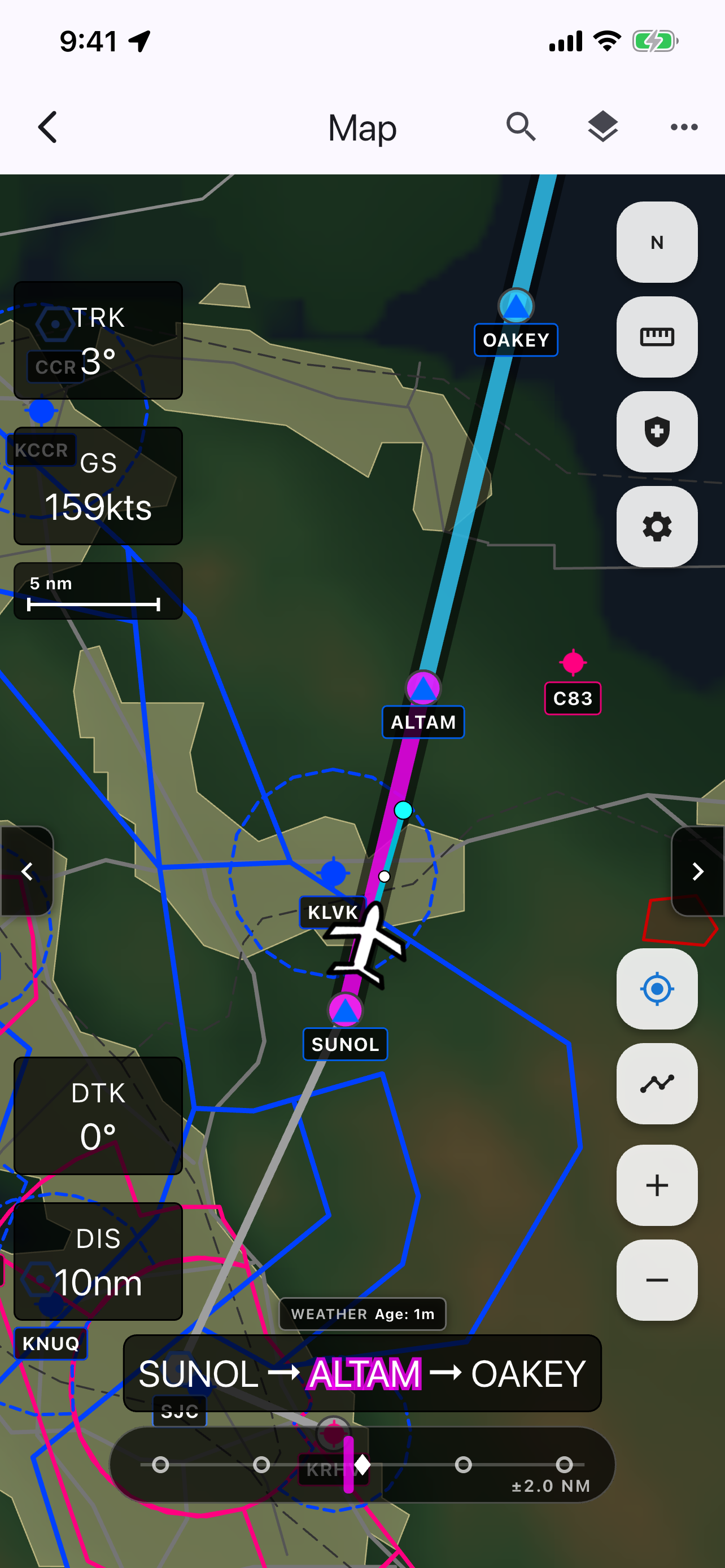
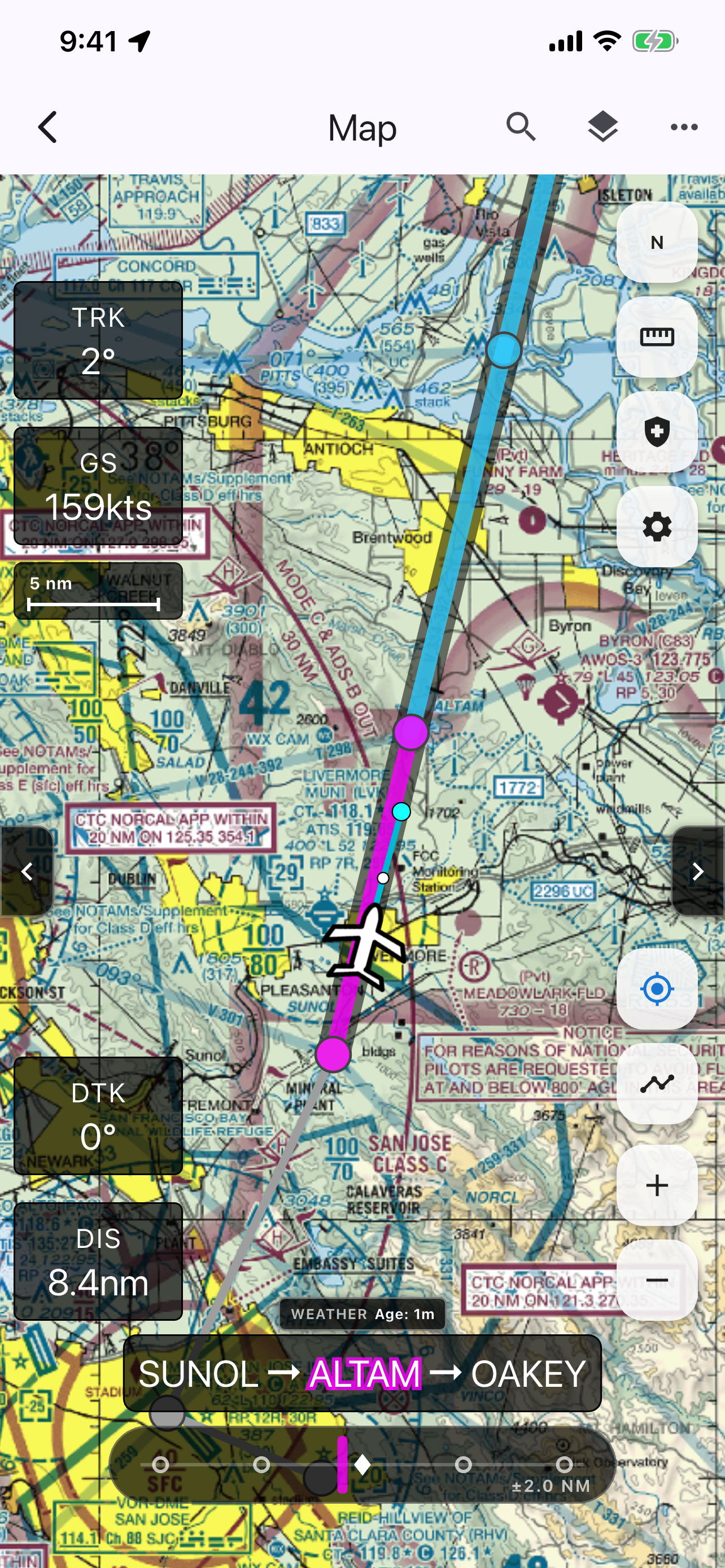
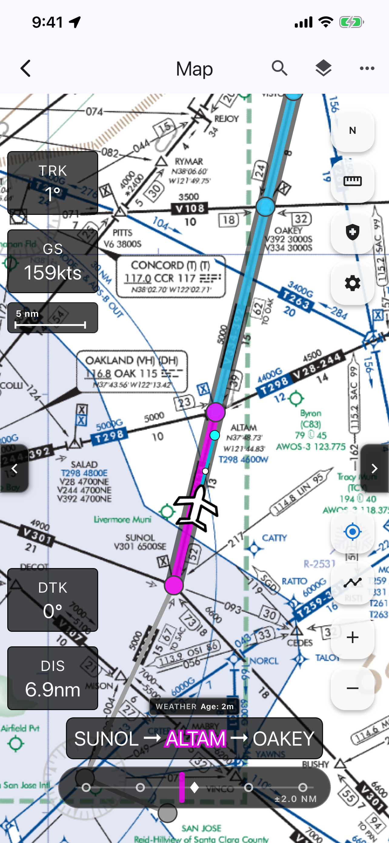
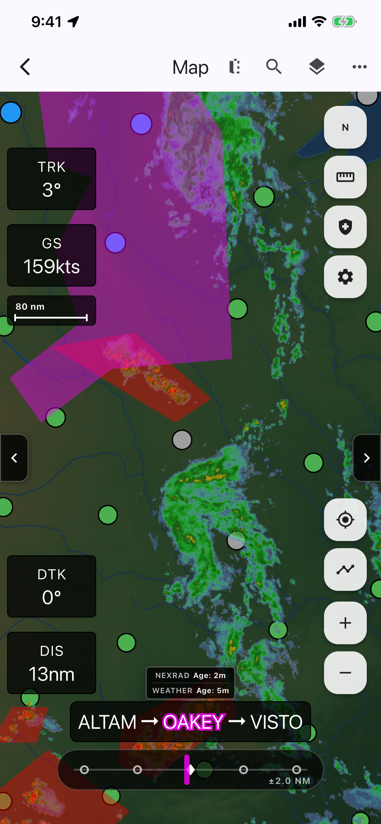
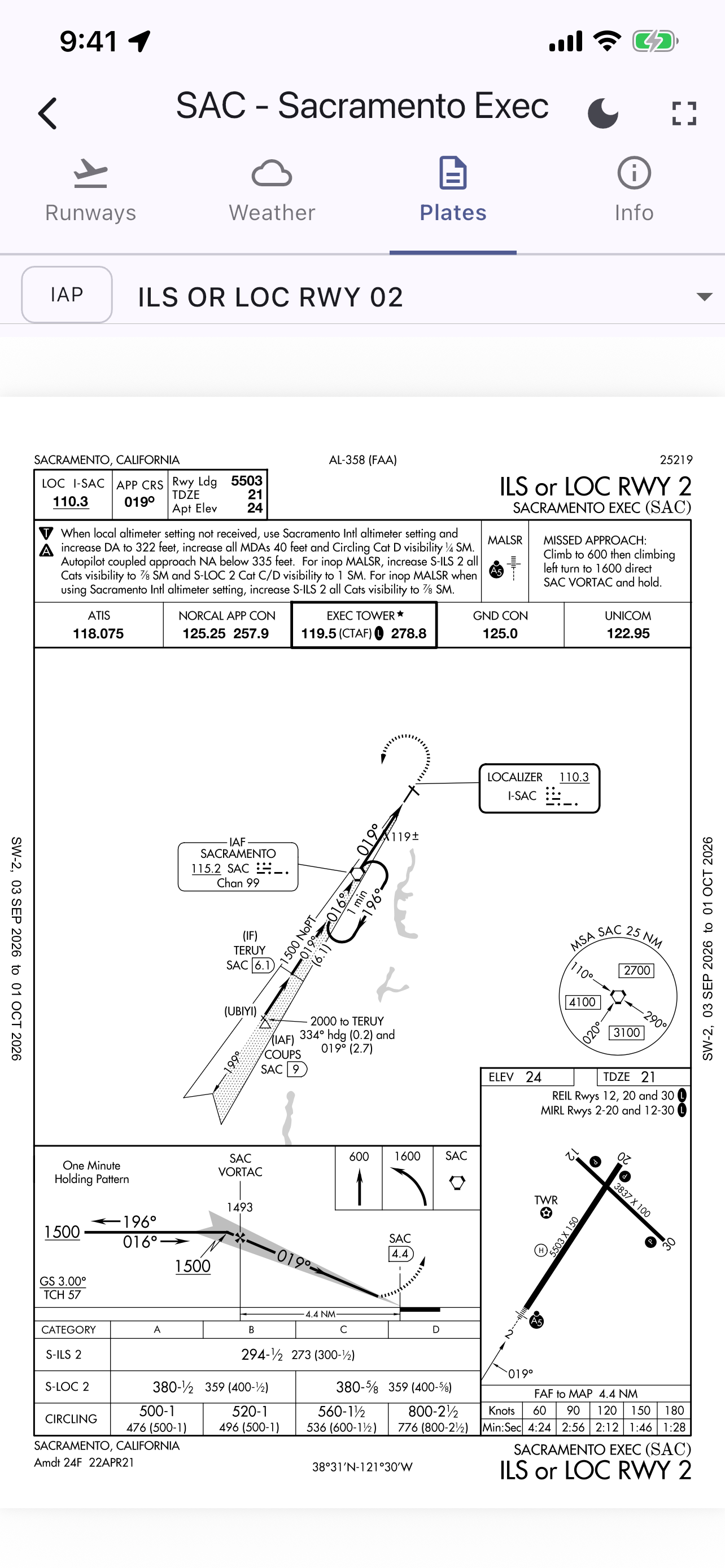
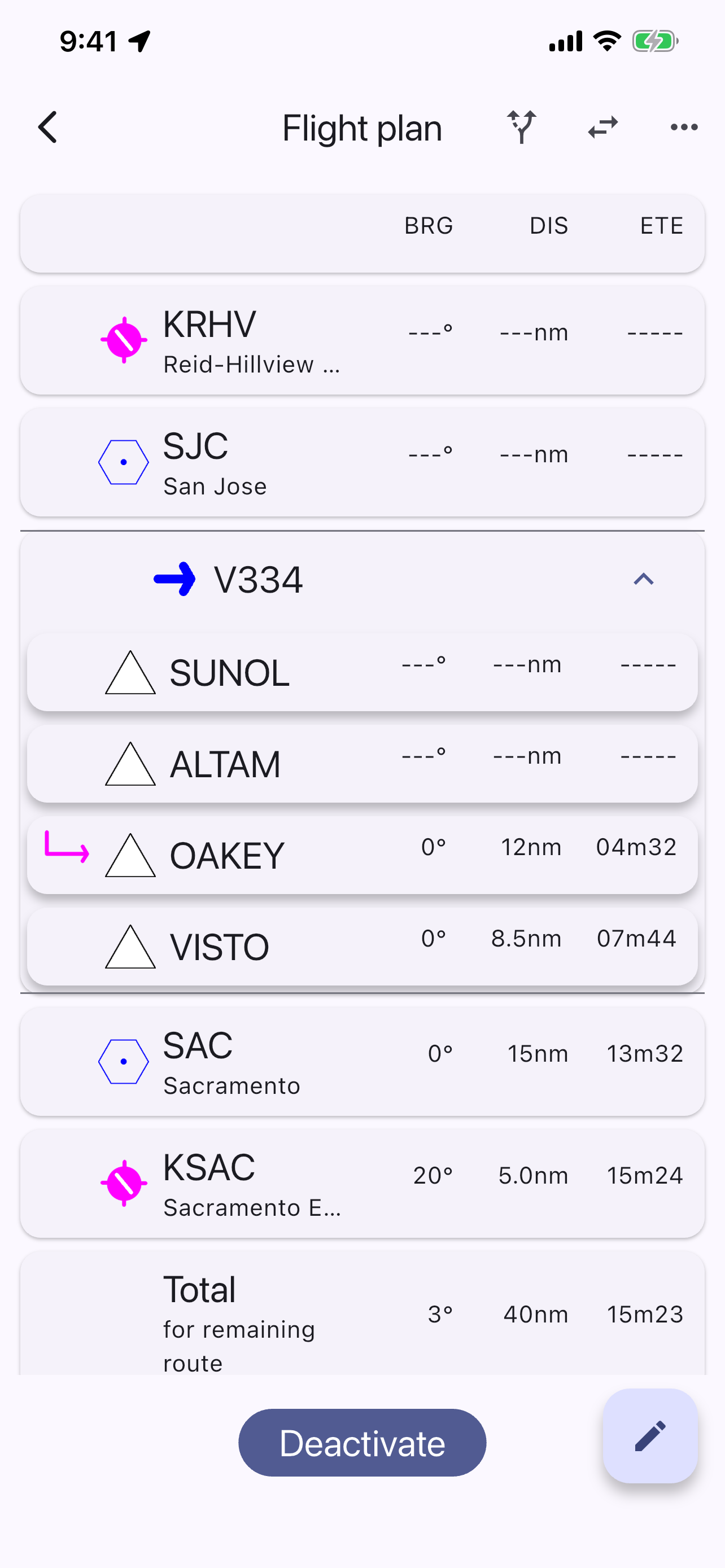
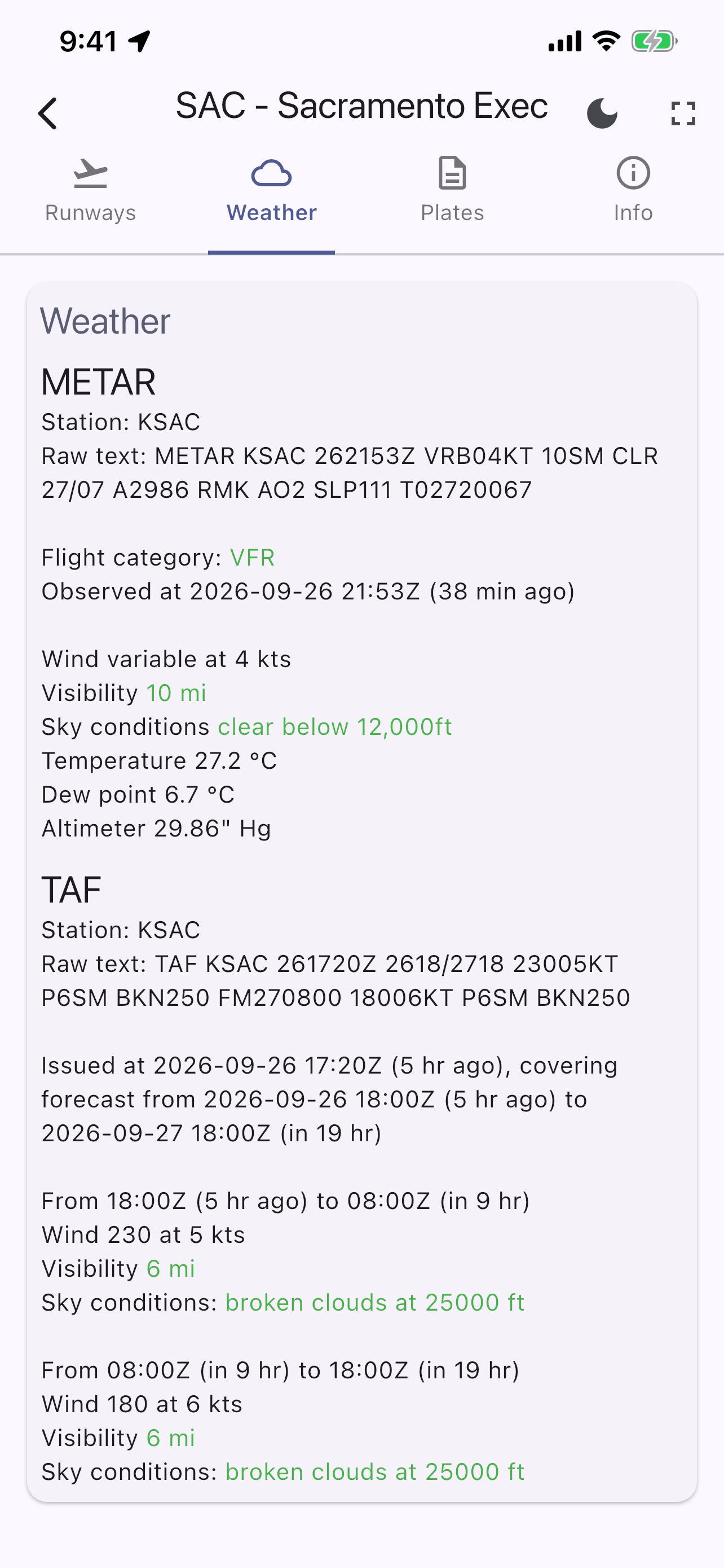
AviNavi delivers an intuitive, full-featured electronic flight bag (EFB) built for general aviation pilots. Seamless aeronautical moving maps with VFR sectionals, low-altitude IFR enroute charts, complete FAA terminal procedures, live weather overlays, and automatic airway routing—built specifically for general aviation pilots.
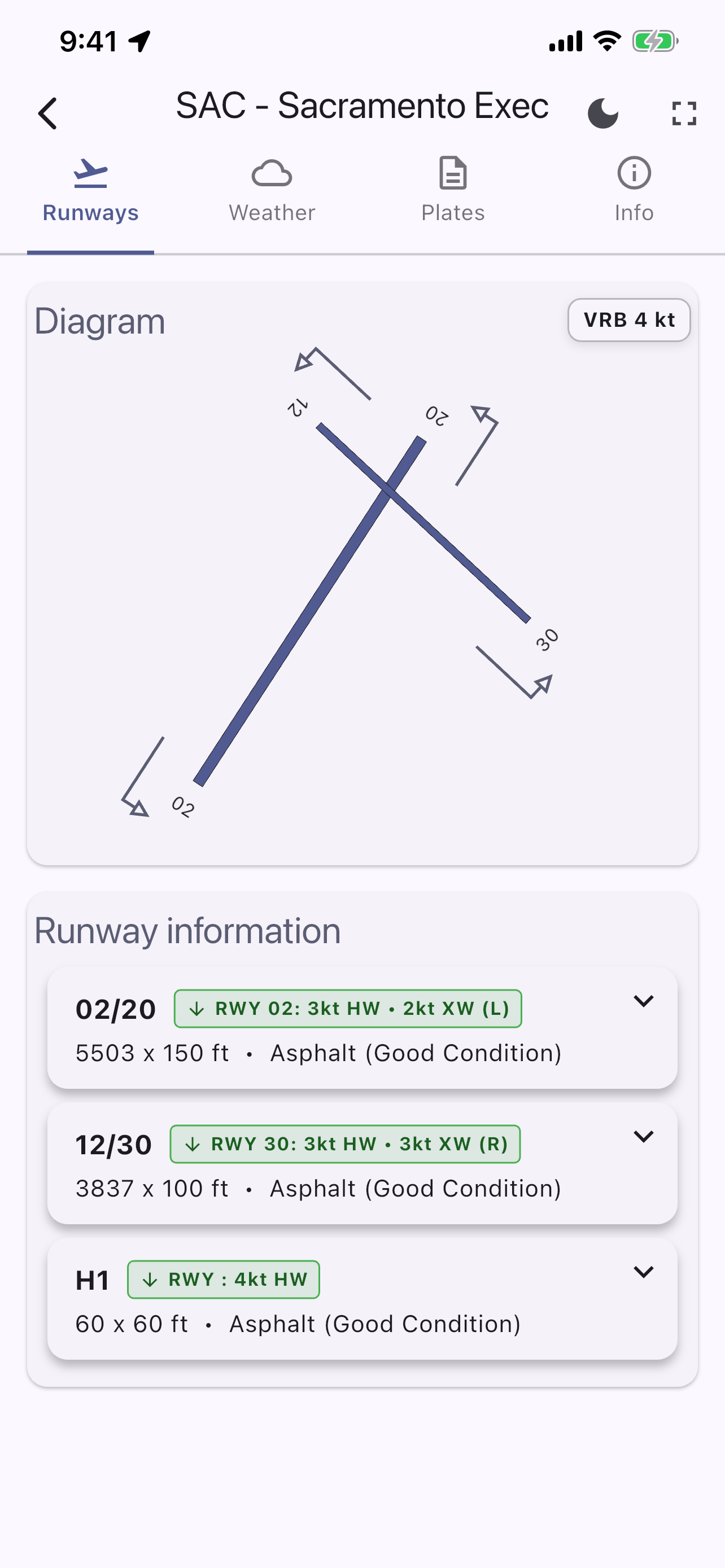
Complete situational awareness in the cockpit: real-time GPS tracking, airspace boundaries, TFRs, glide advisor, decoded plain-English METARs/TAFs, and airport directory data right at your fingertips.
🗺️ VFR & IFR Charting
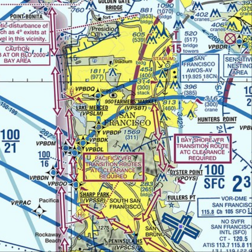
Full United States coverage of seamless VFR Sectionals, Terminal Area Charts (TAC), and Low-Altitude IFR Enroute charts with airspace and TFRs.
✈️ Intelligent Routing
Direct-to navigation, auto-routing engine, Victor airway support, and rapid flight plan entry with automatic waypoint expansion.
🌦️ Live Weather Overlays
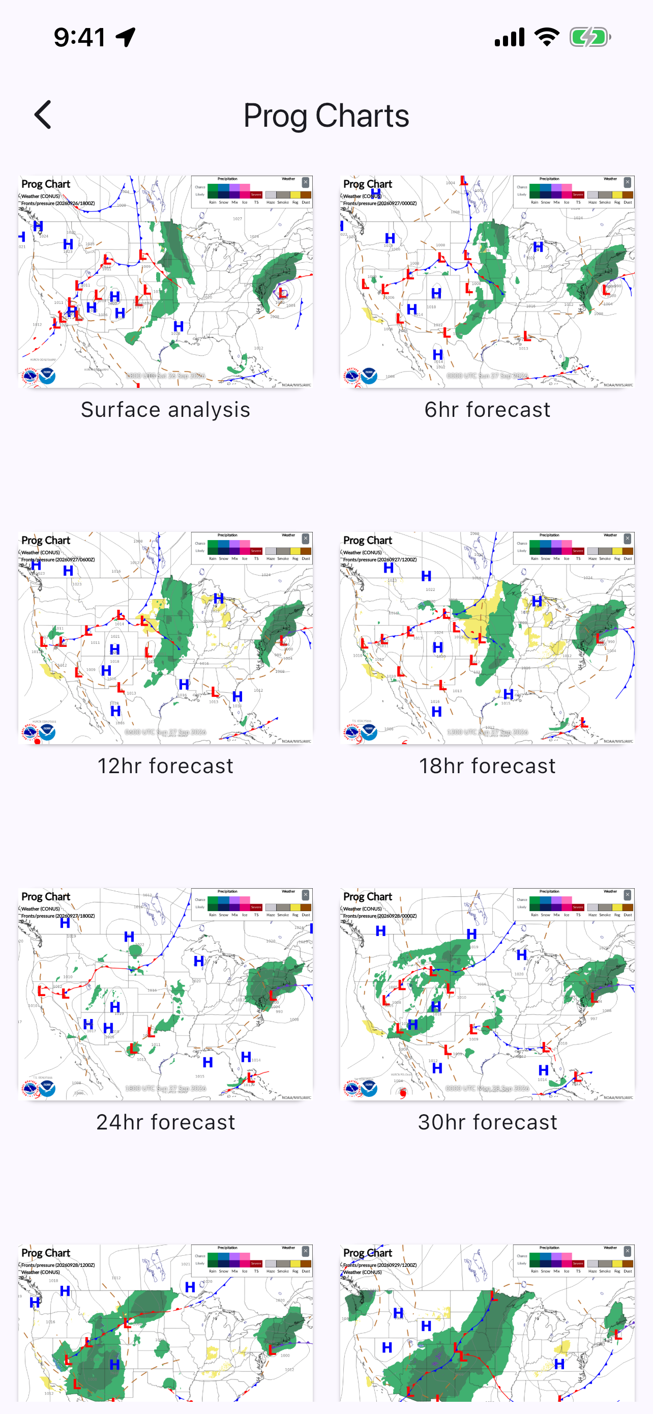
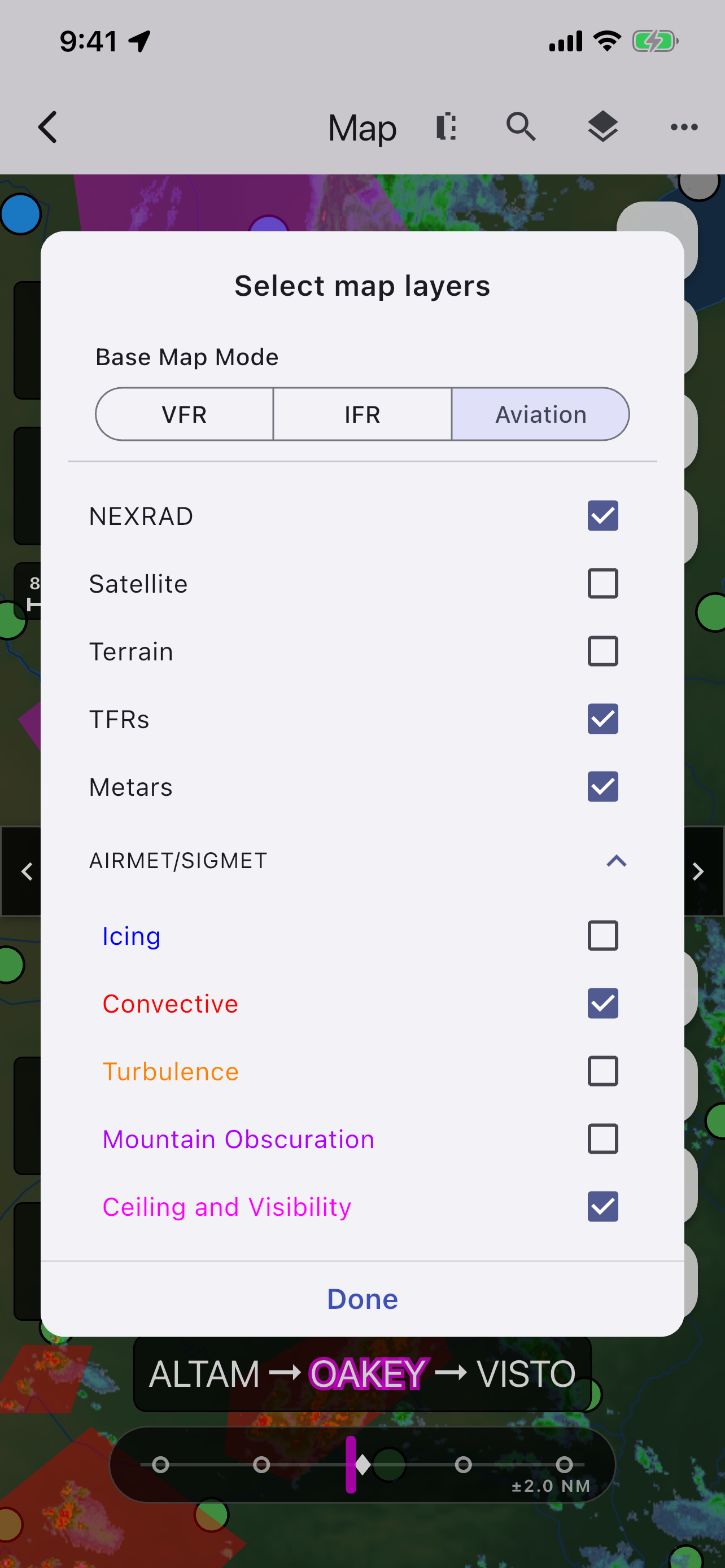
Nexrad composite radar, satellite imagery, graphical METARs/TAFs, AIRMETs/SIGMETs, winds aloft, and surface prognosis charts.
🛡️ Glide Advisor & Safety
Instant color-coded airport reachability rings showing which runways are within no-wind gliding distance during emergencies.